
What is water? Where does water come from? Why do we need water? Can we live without water? We know from the Asian Tsunami 2004 that man can survive for 14 days without water. Is water essential? Where can we find water? Is there no water somewhere? Where? Where are our water resources? Who owns water? Who makes water? Who sells water? Who has no water? Why has water become a commodity? Why is water expensive? Why is water the #3 cause of war, after oil and gold? Why are we rushing for water ownership? Why are we fighting because of water? Why are we killing because of water? Why has water become a source of conflict in almost every nation that exists on Earth? Why? Why? Why? Remember, water, oil and gas all exist as a package in nature - conquering water resources means you automatically get the other 2, oil and gas. Let's look at the triad - water, oil and gas.
Here are some good reads and maps about water, oil and gas:
Thomas Malthus Theory:
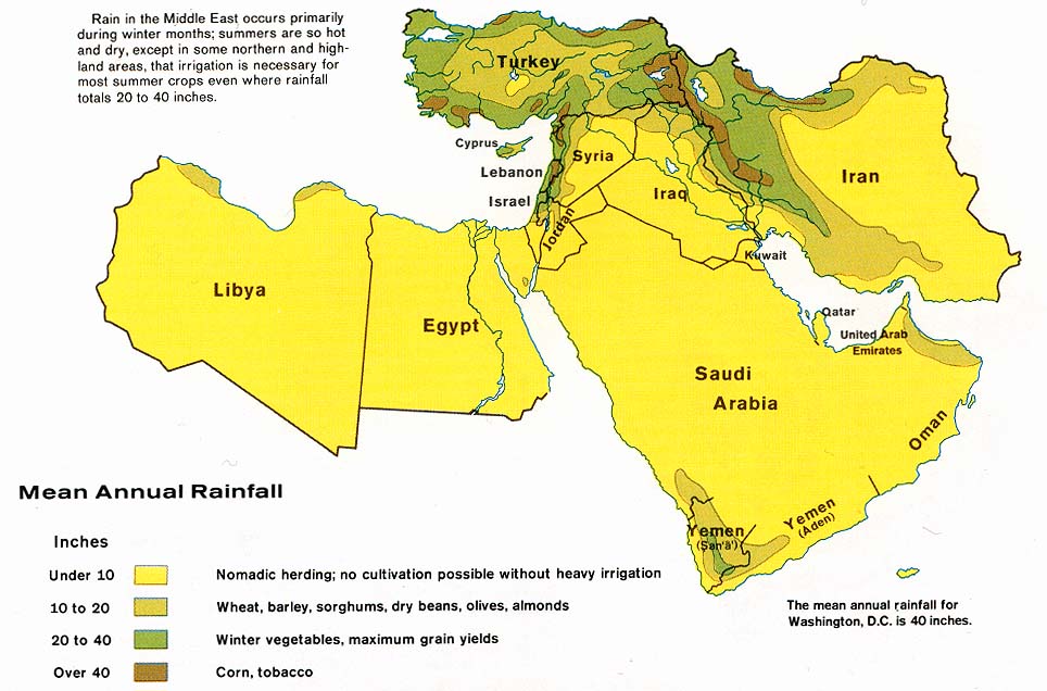
Middle East Rainfall 1973:
http://www.lib.utexas.edu/maps/middle_east_and_asia/middle_east_rainfall_1973.jpg
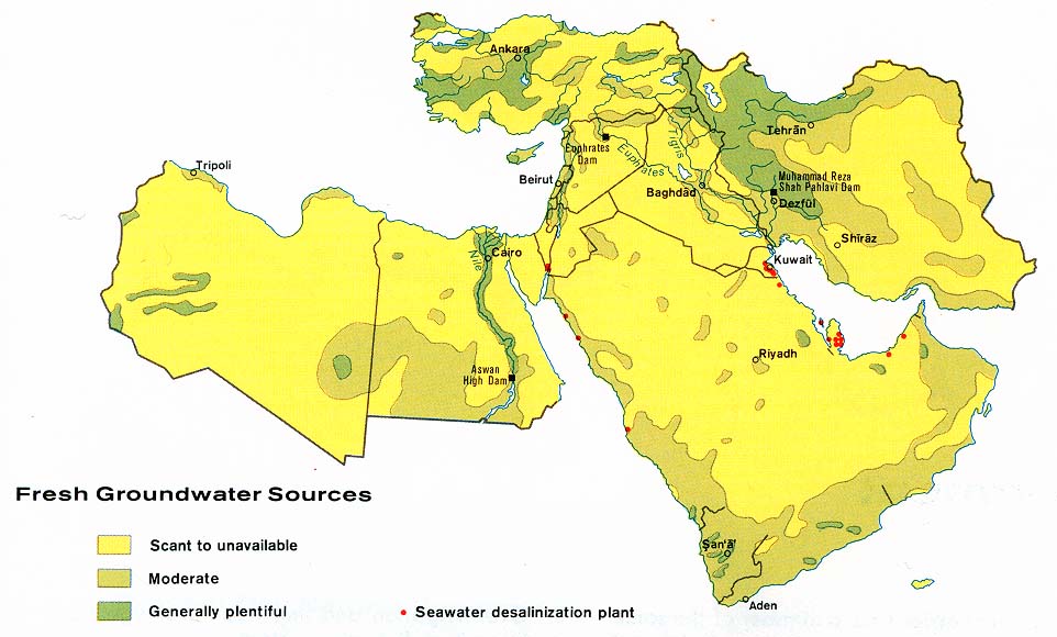
Middle East Groundwater 1973:
http://www.lib.utexas.edu/maps/middle_east_and_asia/middle_east_grndwater_1973.jpg
Caspian Sea oil and gas 2001:
http://www.lib.utexas.edu/maps/middle_east_and_asia/caspian_sea_oil_gas-2001.jpg
Maps of Israel:
http://www.lib.utexas.edu/maps/israel.html
Maps of Asia:
http://www.lib.utexas.edu/maps/asia.html
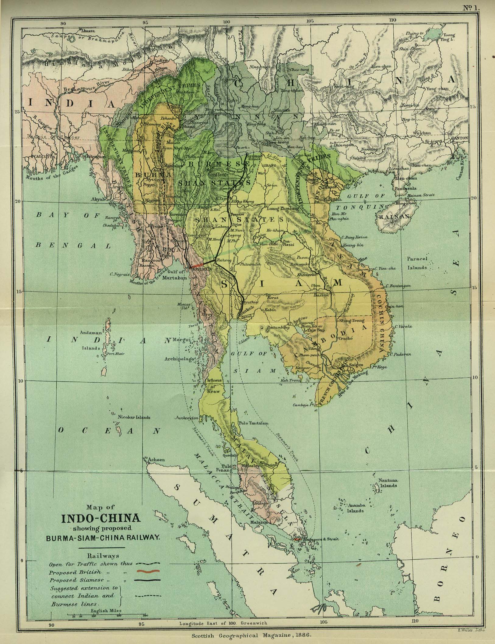
Map of Indo-China 1886:
http://www.lib.utexas.edu/maps/historical/indo_china_1886.jpg (shows proposed Burma-Siam-China railway)
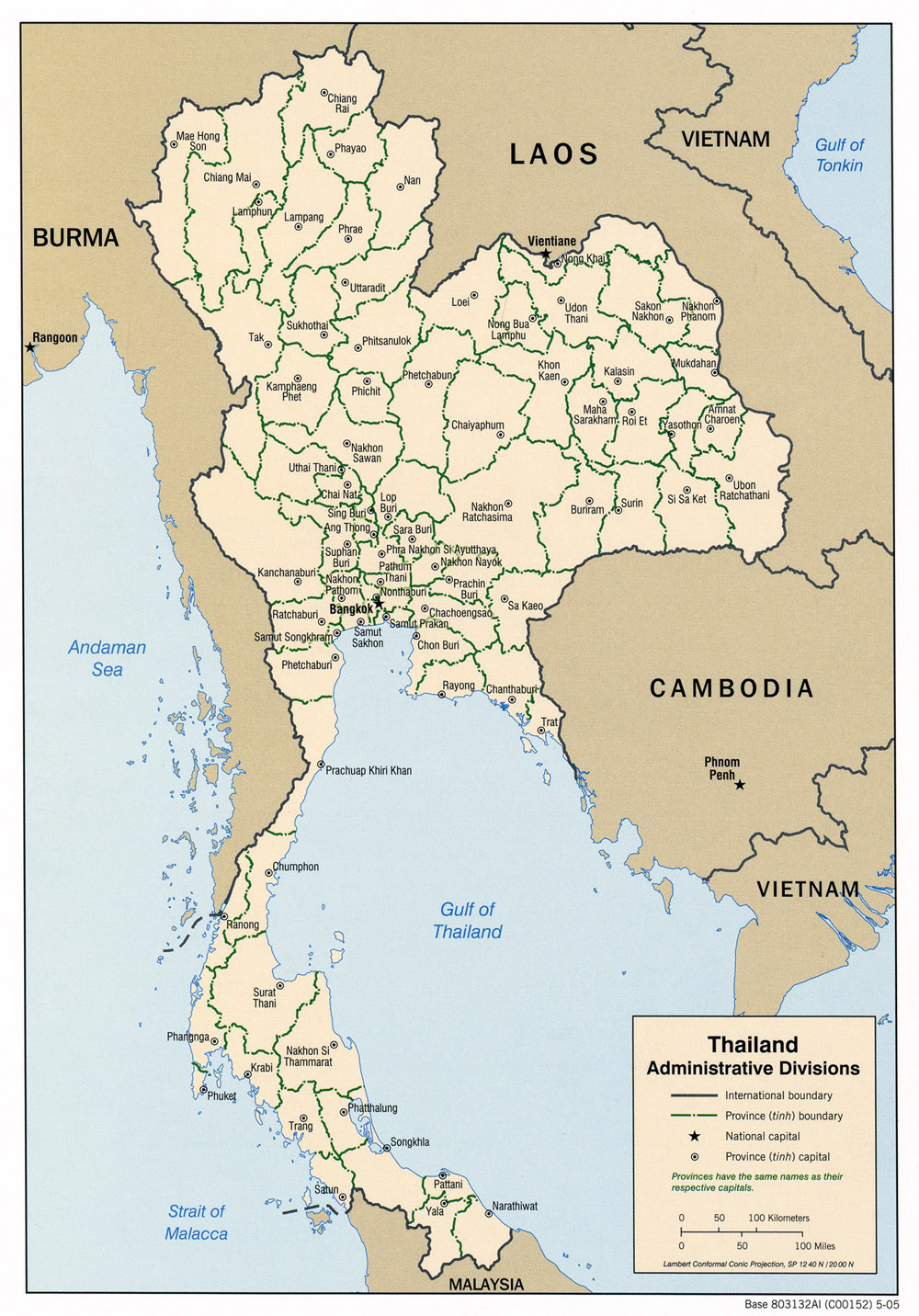
Maps of Thailand:
- administrative map 2005:
http://www.lib.utexas.edu/maps/middle_east_and_asia/thailand_admin_2005.jpg (also shows Satun, Pattani, Yala and Narathiwat)
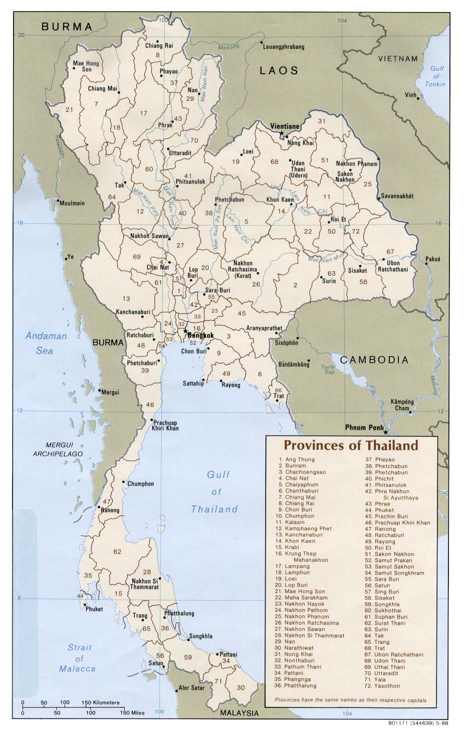
- 72 provinces in Thailand 1988:
http://www.lib.utexas.edu/maps/middle_east_and_asia/thailand_provinces_88.jpg (Pattani is #34)
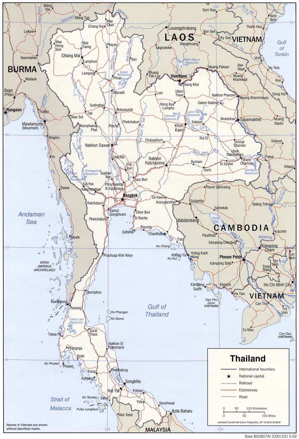
- shows names of towns:
http://www.lib.utexas.edu/maps/middle_east_and_asia/thailand_pol_2002.jpg (also part of Burma, including a town called Pegu (Bago) which is much cited in Malay History. There is also the town of Moulmein).
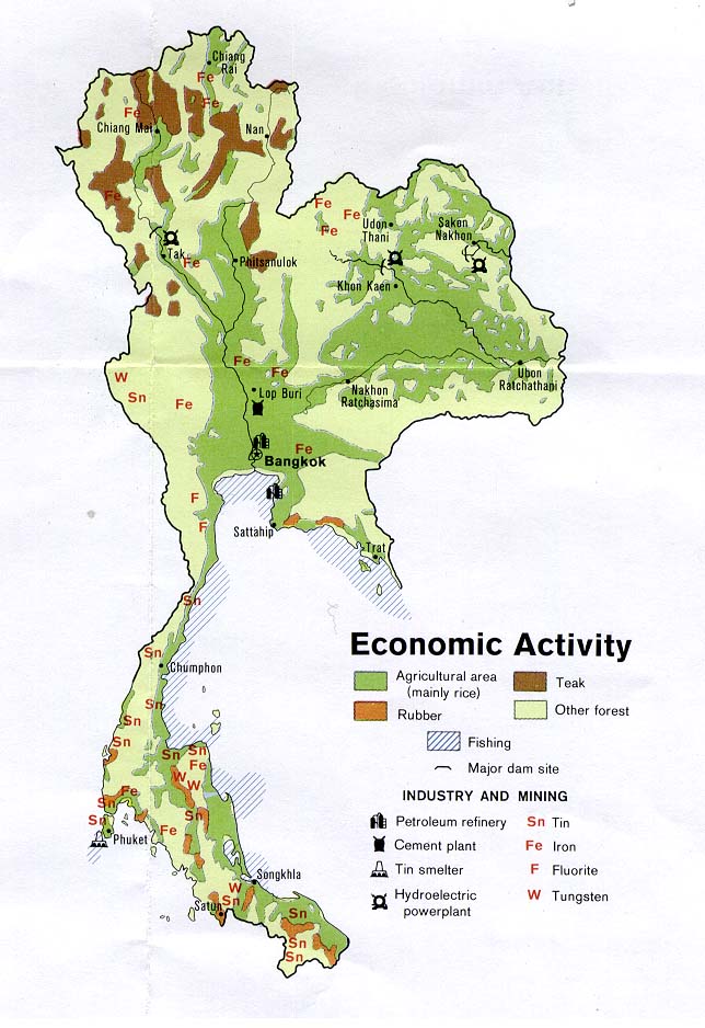
- economy map 1974:
http://www.lib.utexas.edu/maps/middle_east_and_asia/thailand_1974_econ_activity.jpg (shows mining but there is no gold marked on the map. Where did Thailand obtain all her gold for her palaces and temples?)
- ethnic Thai groups 1974:
http://www.lib.utexas.edu/maps/middle_east_and_asia/thailand_1974_ethnic_groups.jpg (shows the Malays lives in Pattani, Yala, Narathiwat and Satun)
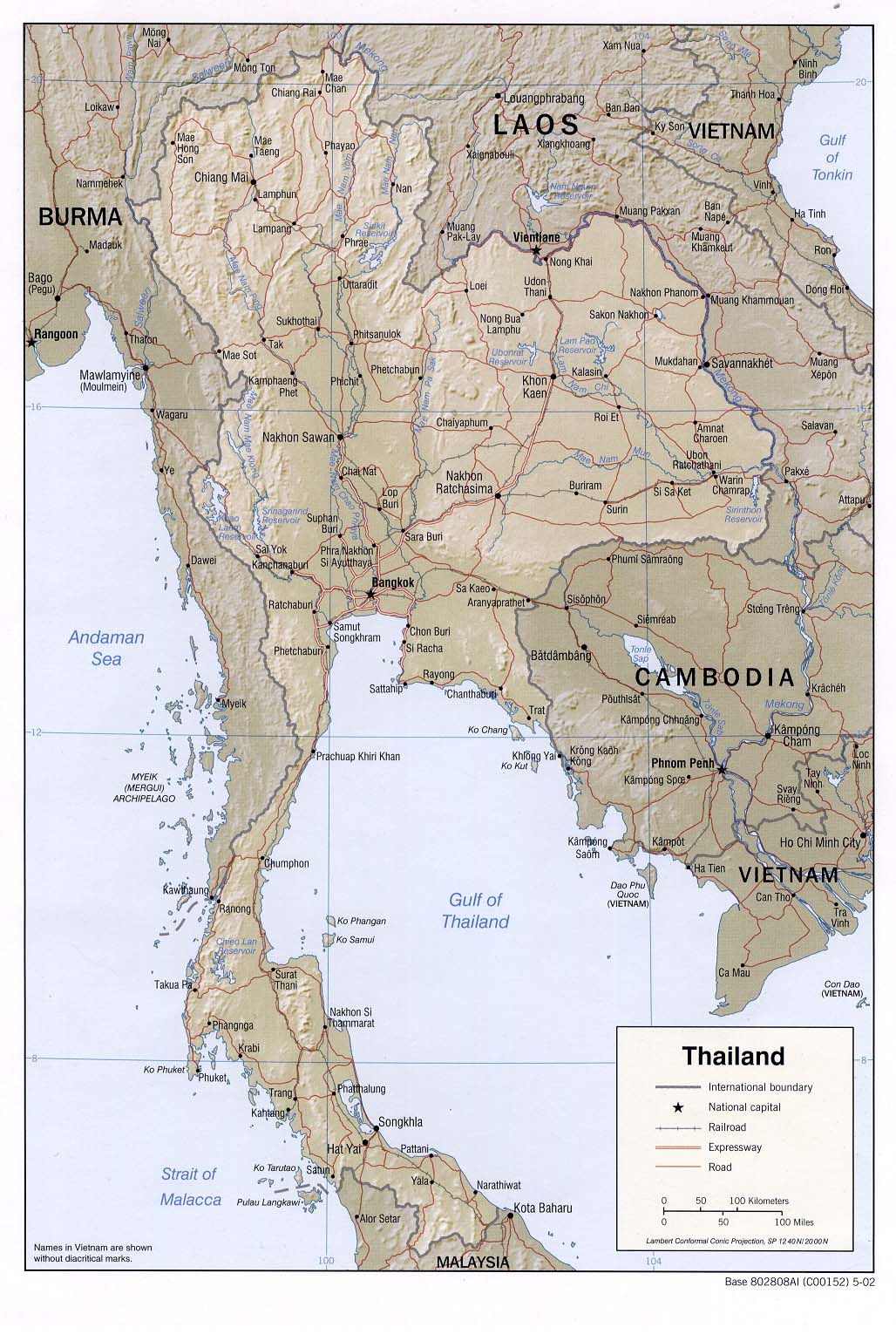
- relief map:
http://www.lib.utexas.edu/maps/middle_east_and_asia/thailand_rel_2002.jpg (also shows railway)
In the old days, if a doctor needed to travel from Penang to Kota Bharu, Kelantan, he would have to take the train that went up to Thailand, then take another train that came back down to Kelantan. In Kelantan, the train previously stopped at Penambang, then the doctor had to take a ship across Sungai Kelantan, and make it to Kota Bharu. The journey from Penang to Kota Bharu, Kelantan may take many days. This journey appears in the biography of Dr Ali Othman Merican, and his sons, Dr Carleel Merican and Dr Ezanee Merican.
There was no bridge across Sg Kelantan till one was built by the British in 1939 - it was a bridge that collected toll. In 1967, the toll was $2 (RM2) per vehicle; motorcycles, bicycles and pedestrians did not have to pay. Buses had to pay.
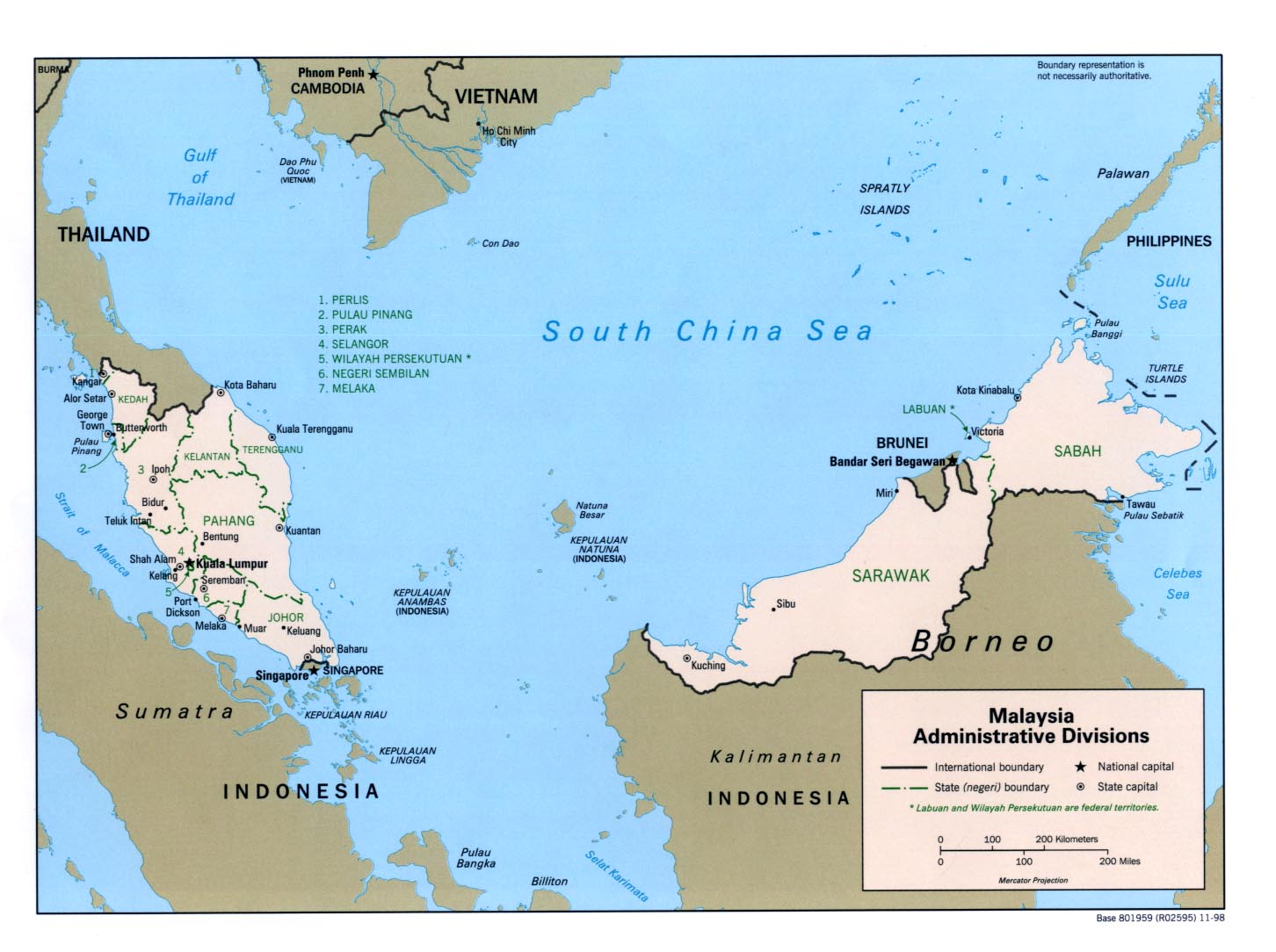
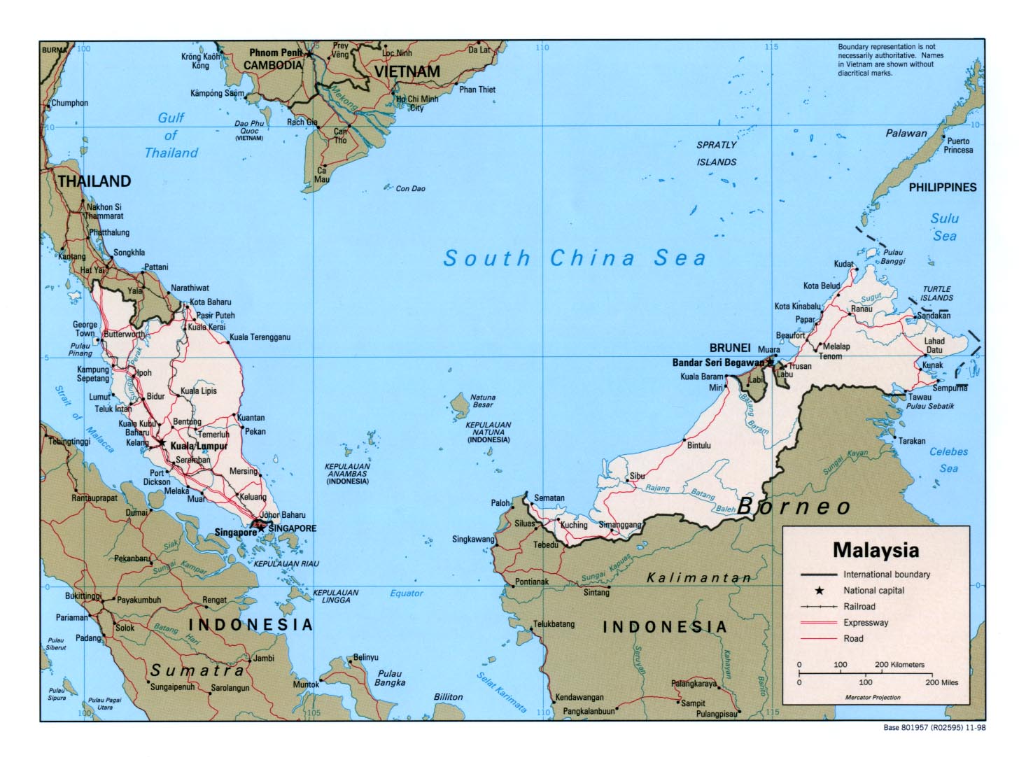
Maps of Malaysia:
http://www.lib.utexas.edu/maps/malaysia.html
http://www.lib.utexas.edu/maps/middle_east_and_asia/malaysia_adm98.jpg
http://www.lib.utexas.edu/maps/middle_east_and_asia/malaysia_pol98.jpg (1998)
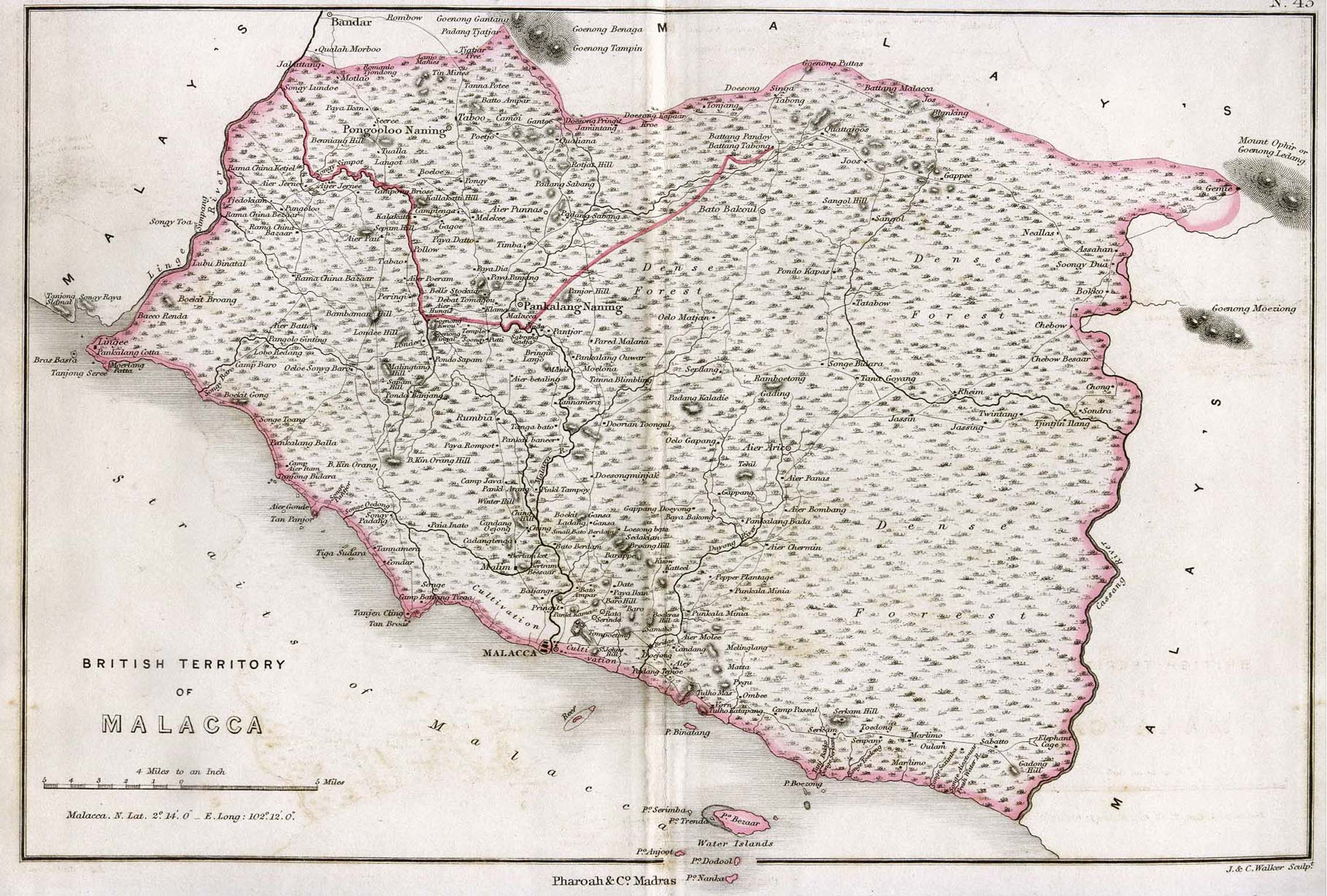
Map of Malacca 1854:
http://www.lib.utexas.edu/maps/historical/malacca_1854.jpg
Malacca has a lot of water problems because geographically, it has a low water-table. This means, you need to dig a well deep enough to get to the water-table. However, it is rather weird that Malacca also suffers from floods! I don't understand the water and irrigation system in Malacca.
In the many reports of typhoid and cholera in the old newspapers, Malacca and Terengganu had major outbreaks in 1964 and 1967 (have to re-check the dates). Terengganu has many rivers.
In a book by Yeoh, she explained that when Singapore (and all of Malaya) used the bucket system, there were some problems with the collection of the buckets (tong tahi). The buckets had to be carried from the latrines, through the living-room to the front, so the Chinese man can collect the nightsoil. That cause diseases somehow (I have no idea how this can happen).
When I lived in Banda Hilir, Malacca, my family had a latrine far away from the house. It used the bucket system and a Chinese man would come and collect the nightsoil. The buckets were stinking and looked really ugly.
Malaysia was really lucky when Dr Raja Ahmad Noordin invented the Jitra Bowl in 1963, a cousin of the Siamese Bowl. In early 1970, my father installed the Jitra Bowl with a flush system for our Banda Hilir house. It was the first time someone did that for a kampung house. As kids, we didn't have to go to the dark latrine outside anymore. It was a great change in hygiene.
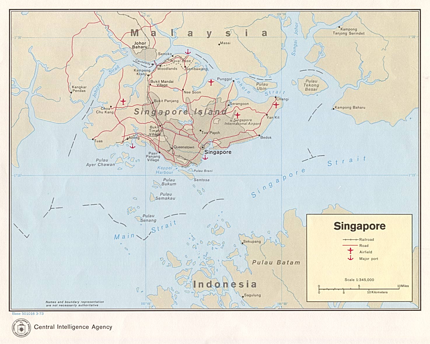
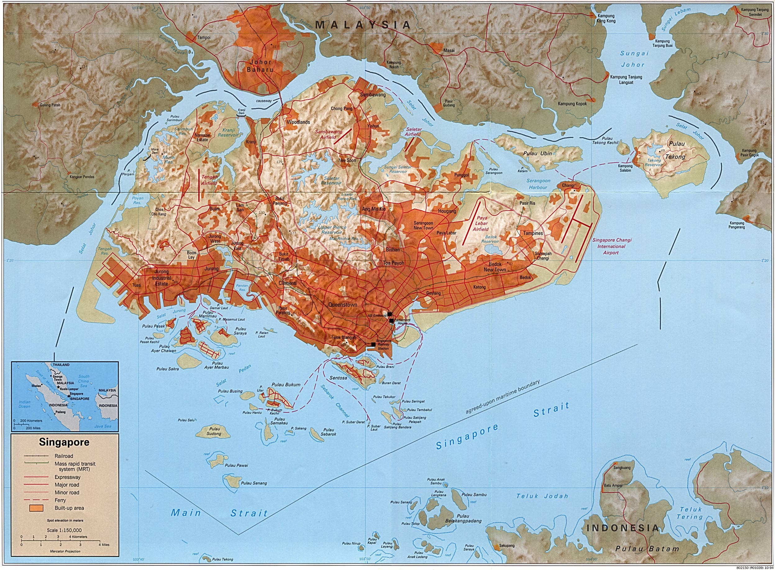
Maps of Singapore:
http://www.lib.utexas.edu/maps/singapore.html (shows 3 airports 2005)
http://www.lib.utexas.edu/maps/middle_east_and_asia/singapore.jpg (shows Keppel Harbour 1973)
http://www.lib.utexas.edu/maps/world_cities/singaporeb.jpg (built-up areas)
When the Japanese war reached Singapore (Battle of Singapore 8-14 February 1942), the first thing that Abdul Majid bin Ismail was assigned to do was to check the water resources in Singapore, for the Japanese army. He had to take water samples at about 8 places, some at the lowlands and others at the highlands. According to Tan Sri Dr Abdul Majid (Coco Majid), the water samples at the lowlands were all salty and the ones at the highlands were freshwater. The names of the places are mentioned in his biography. There was a Japanese chemist whom Coco was working for.
There was some water problems experienced by the Japanese army. I don't know the exact nature of that water problem. I don't know if that same water problem is the same water problem that Singapore faces today (67 years post-war). What is the water level in the lowlands of Singapore? Aren't the reservoirs providing sufficient water? Singapore also buys and processes water for Malaysia and then sells it back at a higher price - why? When I went to see Singapore and crossed the Johor Causeway, I saw huge silver water pipes on my side of the train window. It was drizzling so my photos didn't come out good. Anyway. I didn't know it was the Causeway! I had thought it was a big river! I don't remember the Causeway from childhood.
Looking at the map of Singapore, I can see a lot of water bodies formed by lakes and rivers. I'm just wondering what is the actual water problem - is it lack of freshwater or is it lack of water altogether? Penang is an island and it has no water problems. As I faintly recall, there is Guillemard Dam, one at Bukit Dumbar and another near where we lived in Penang, somewhere near Brown Garden side, facing Bukit Pemancar. Penang also has the best drinkable filtered tap water (no need to boil).
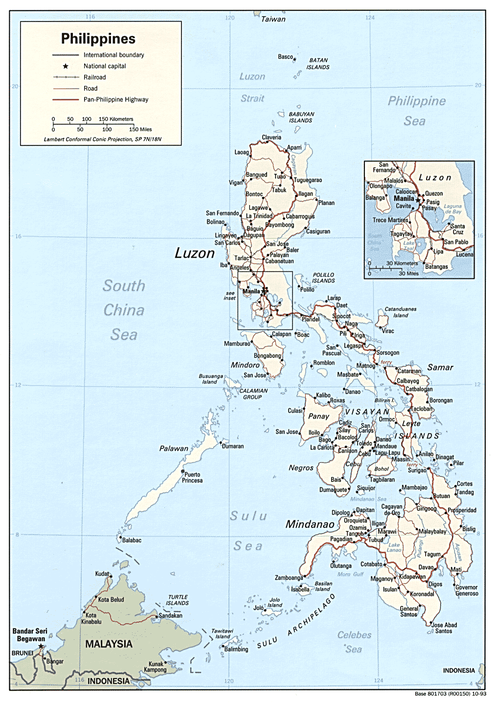
Maps of the Philippines:
http://www.lib.utexas.edu/maps/philippines.html
http://www.lib.utexas.edu/maps/islands_oceans_poles/philippines.gif (shows Palawan, presumably home of the Sea Gypsies)


0 comments:
Post a Comment